Programming, problem solving, and algorithms
CPSC 203, 2025 W1
October 16, 2025
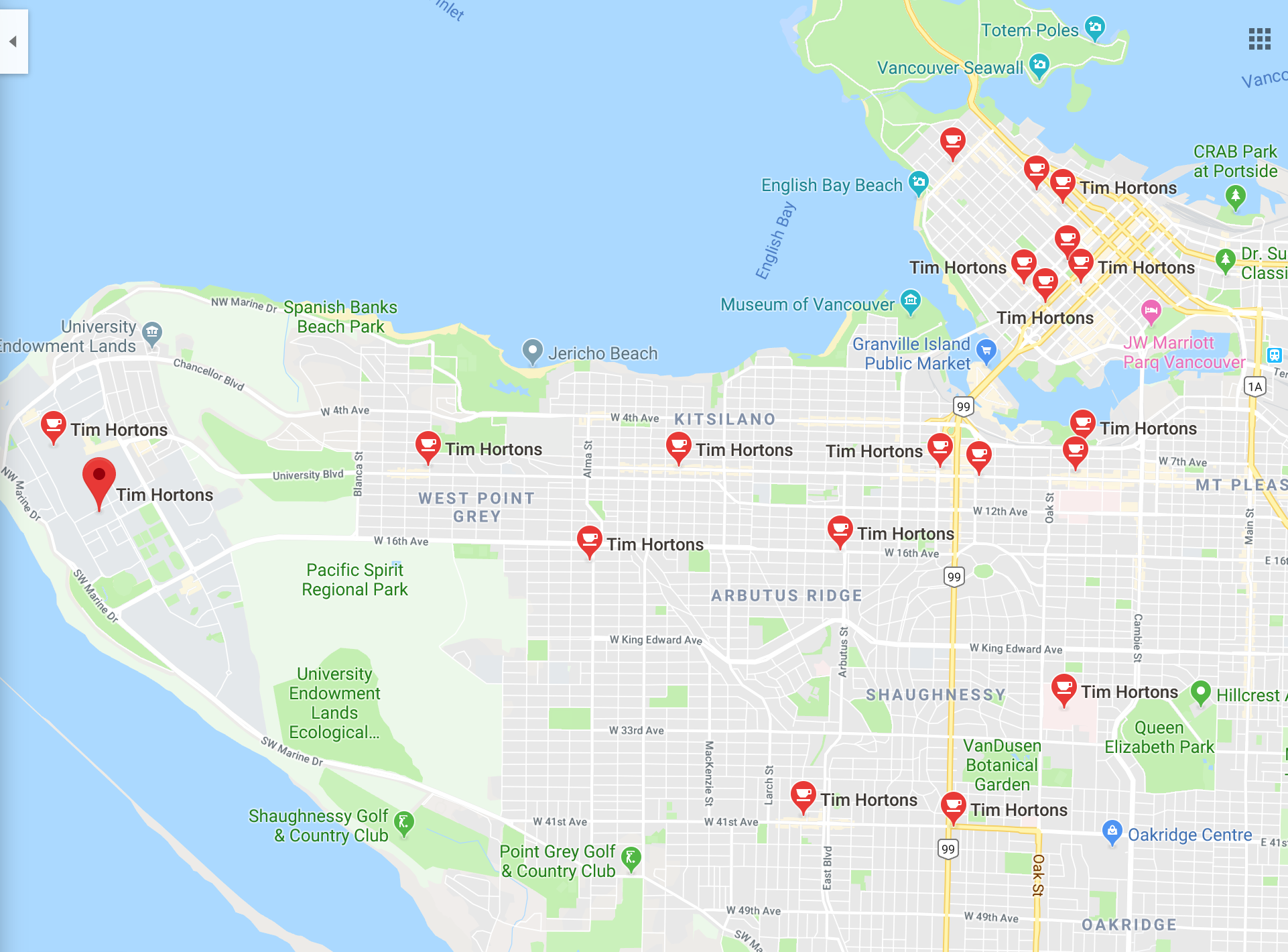
Everyone needs a Tim Horton
Every address in Vancouver has a nearest TH.
Partition Vancouver into regions so that points are in the same region if they have the same nearest TH.
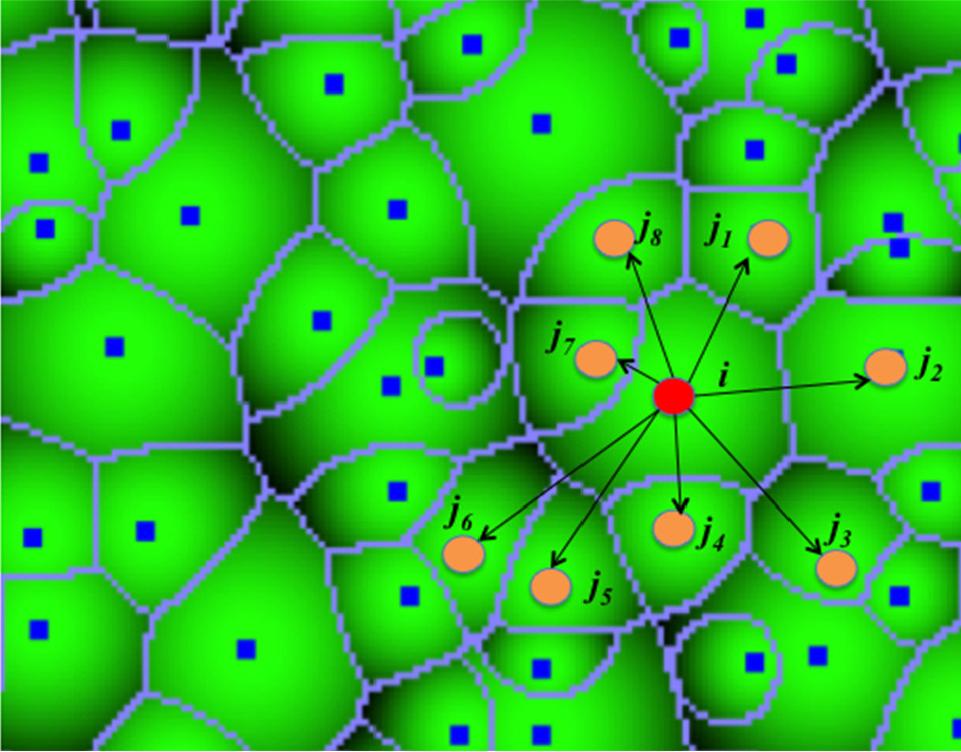
Voronoi diagrams
Given a (finite) set of “centres” \(c_{1}, c_{2}, \ldots, c_{k}\), a Voronoi region, \(R_{j}\) consists of the set of points nearer to centre \(c_{j}\), than to any other centre.
Together, the \(R_{j}\) regions compose the Voronoi diagram of a plane.
Aerial view of trees illustrating how the tree tops resemble and can be modeled as Voronoi diagram.
More Examples
https://www.khanacademy.org/partner-content/pixar/pattern/dino/v/patterns2_new
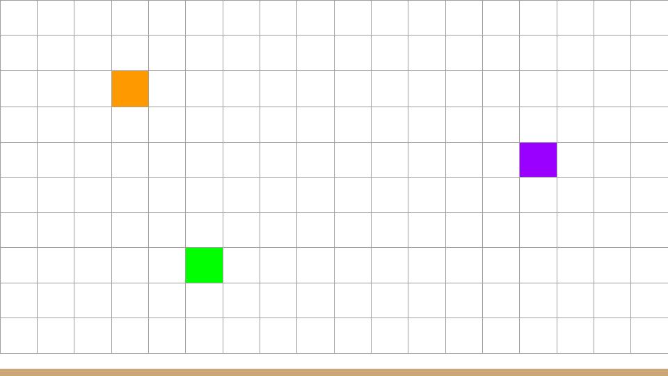
Distance Between Pixels
Find the distance between 2 pixel locations:
Distance Between Pixels
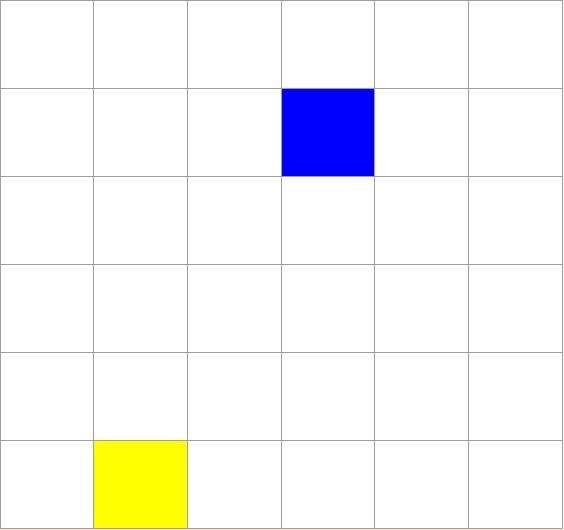
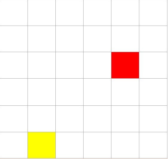
Given a point and two centers, determine which is the nearest center…
:
Design an Algorithm